


GIS Solutions for the Field and Office
ONG-IT is a solution provider for integrated GIS and data management systems. It customizes, sells, implements and supports GIS software for running, managing and optimizing a wide range of private and public sector organizations across the globe.
We deliver a full spectrum of GIS software, consulting and services focused on Europe, Middle East and Africa ranging from governmental organizations to Fortune 500 enterprises.
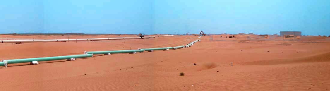
Mobile Field Data Collection & Asset Management
CartoPac Field Solutions is a leading provider of advanced off-line field data collection solutions that integrate with a wide range of technologies including GPS, laser, cameras, etc. increasing field to office workflow efficiency.
![]()
ProOffice is a process oriented software solution for your operating cycles regarding infrastructure of all kind!
![]()
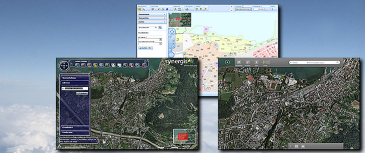
WEB GIS Solutions
SynerGIS WebOffice is built upon ESRI ArcGIS Server technology and brings the power of the desktop onto the Web.
![]()
Web GEN is a complimentary technology to create web forms by configuraton. Such web forms are supporting office workflows and enables clients to easily create database front-ends within the web browser. Web GEN is fully compatible with WebOffice.

